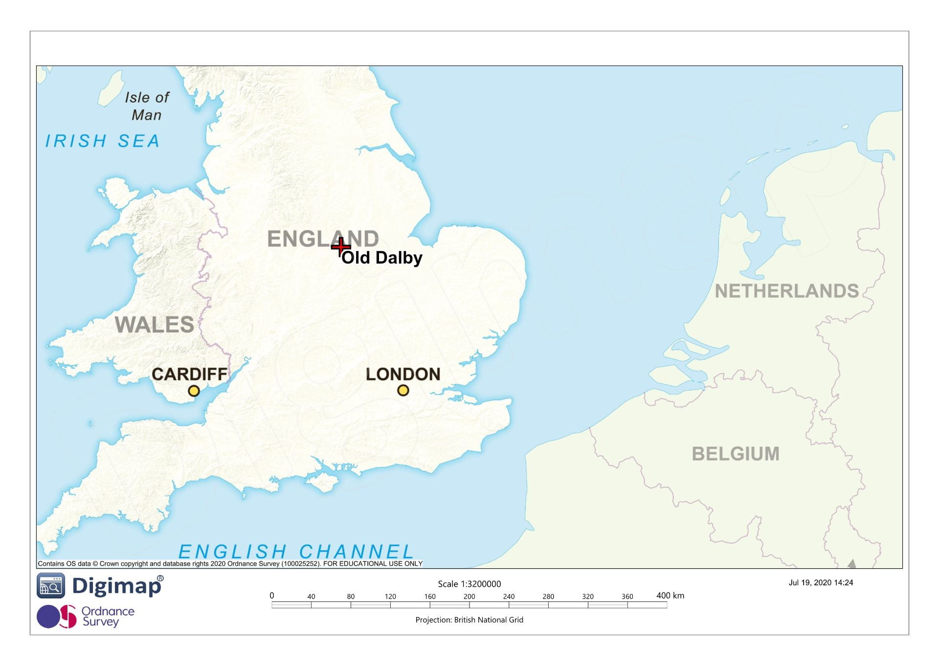
Old Dalby is located 15km northeast of Loughborough and 9.5km northwest of Melton Mowbray in the county of Leicestershire. Old Dalby lies west of Dalby Brook on land that slopes from approximately 80m OD in the east to 105m OD at the western edge of the village, with with Queensway a small twentieth century estate which developed on the site of a former military base.
 The earliest known archaeological remains at Old Dalby date to the Roman period but the majority of the history and archaeology of Old Dalby relates to the medieval period, with the most notable features being earthworks of former settlement (LHER3446 and 3451) and hospitaller preceptory (List entry: 1009174) immediately south-east side of the present village. Excavations in advance of development in 2005 in the centre of the village revealed ditches, post holes and gullies containing stratified pottery dating from the twelfth to fourteenth centuries (Parker 2005).
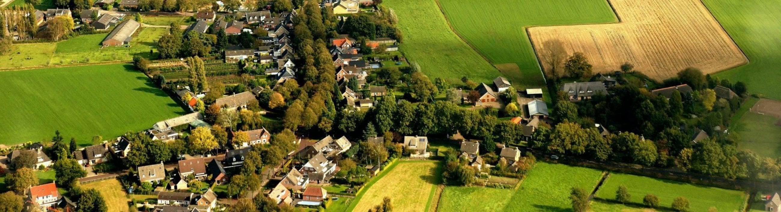
 Old Dalby today (Fig 17) is a nucleated settlement arranged along Main Road in the centre and Church Lane and Paradise Lane which run towards the church on the extreme southern margin of the present settlement. North of Main Road, Chapel Lane runs along the northern edge of a small green, and to its north further settlement is arranged along Longcliffe Road and two closes. The first edition Ordnance Survey map (c. 1880) shows a more thinly dispersed settlement, mostly comprising a cluster around the church, intermitent cottages and farms around the Chapel Lane green which looks as if it was formerly larger, and a intermittent succession of houses on Longcliffe Road along the edges another former green near North Lodge Farm.