 Aarle now lies within Best, a mostly modern village of approximately 29,800 inhabitants which developed as an agglomeration of formerly separate hamlets sited along a main road connecting a marshland area in the north to extensive heathlands in the south. Administratively, these settlements used to be part of Oirschot, but in 1821, Aarle, Naastenbest, Verrenbest and De Vleut (the hamlets furthest east of the village) became the separate municipality of Best. Aarle is the westernmost of these hamlets.
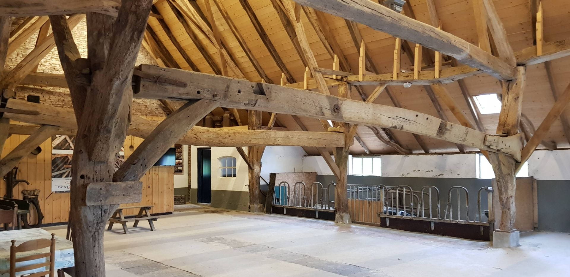
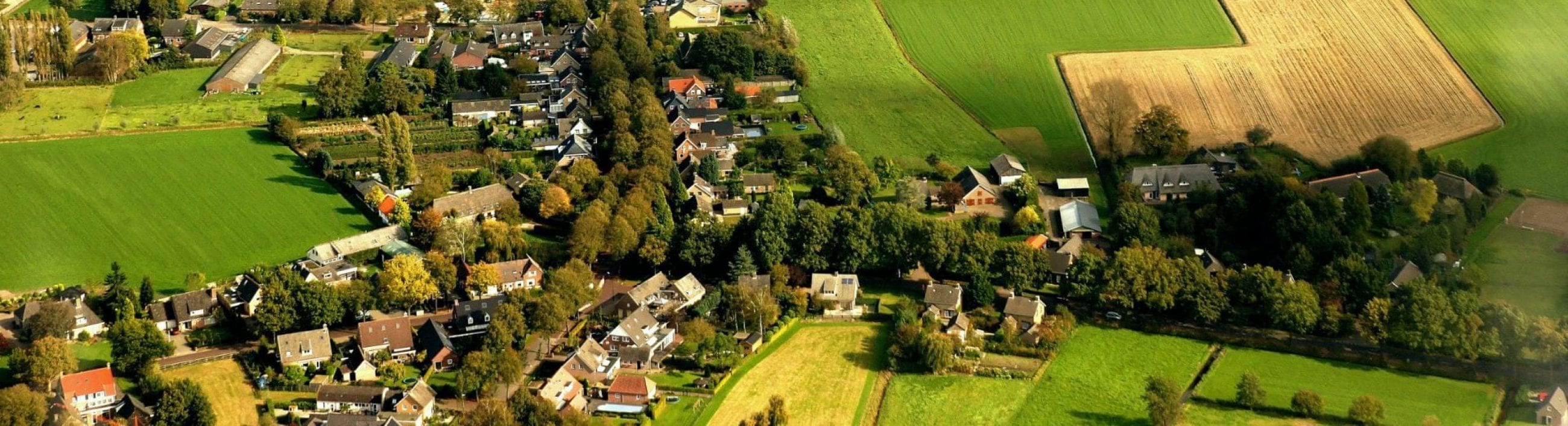
The name Aarle refers to a small stream (Aa-) in or near woodland (-Lo). The stream can still be observed in the present landscape, as can the agricultural character of the historic community, reflected in the various traditional compartmented longhouses (langgevelboerderij) surviving along the streets. When administratively part of Oirschot, the villagers of Aarle formed a neighbourhood (herdgang) which meant that tasks such as the use of the common land for grazing sheep and were organized by the Aarle community.
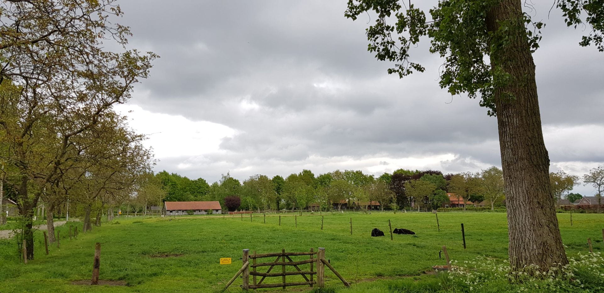

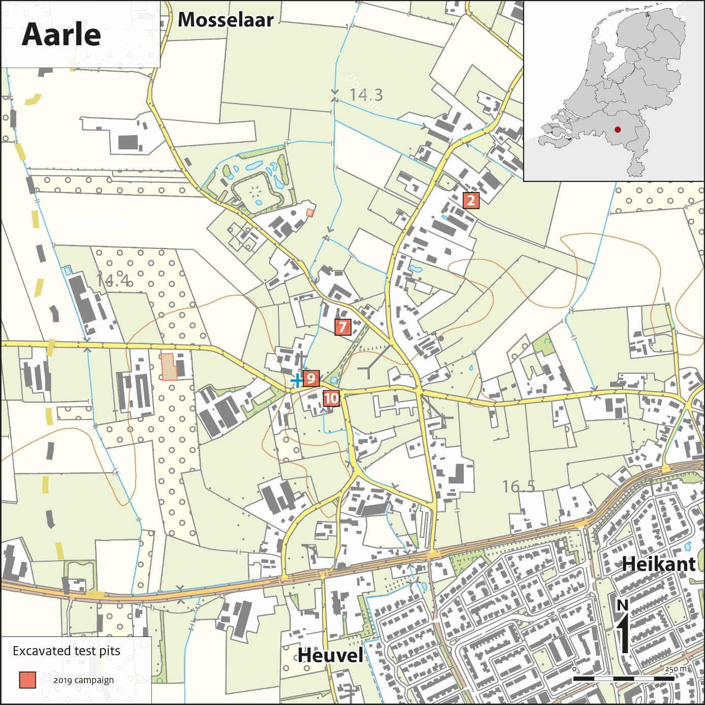
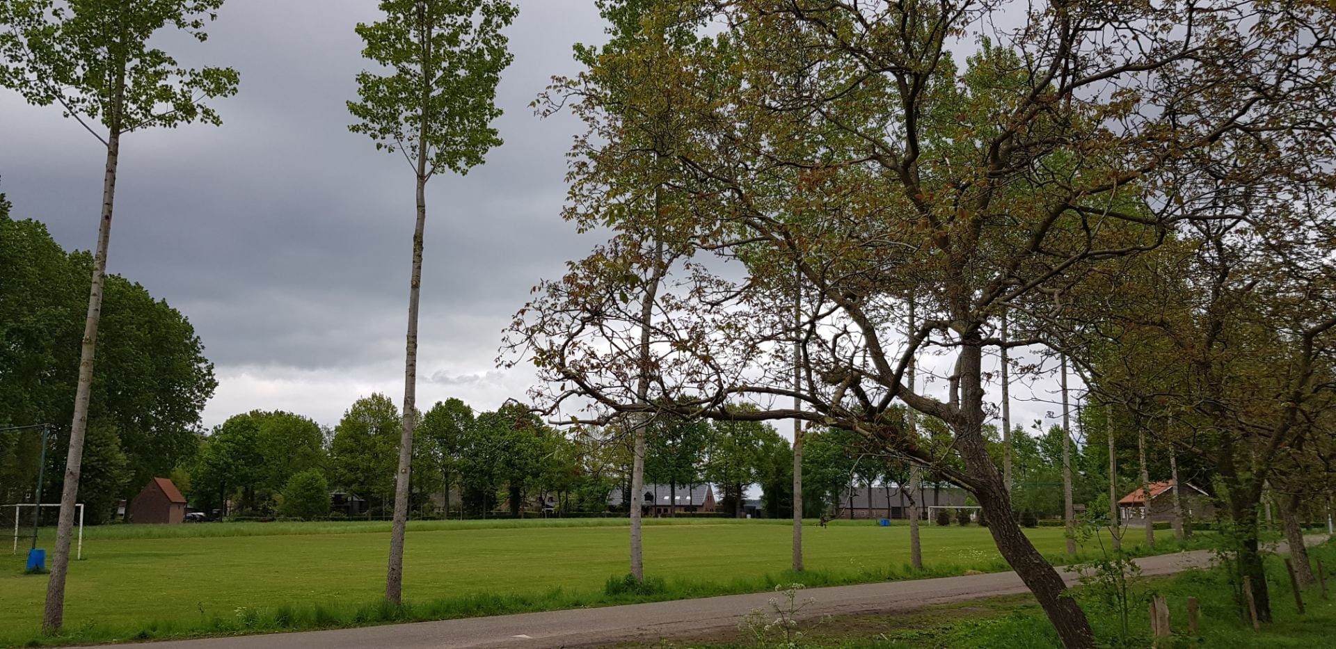
Aarle lies on the main road from Oirschot to Son. It does not have a true nucleus, but is made up of a cluster of farms around a green and a row of houses along the Broekstraat.
On a small mound next to the green is a chapel dedicated to St. Anne dating to 1837, when it replaced a chapel built in 1628 as an upgrade of a late medieval timber shrine building (Coenen 2000, 112-113). Analysis of the historical topography shows that the present hamlet sits amidst five large arable fields, with the farm buildings located on the outer edges of these fields at the intersections of the roads separating them.
Previous archaeological research in one of the fields showed the earliest settlement there to have been a farm of late ninth century date located fairly centrally in the plot (Verspay 2017, 499-506). From the twelfth century successive farms and their divisions moved gradually outward in tandem with the expansion of the field system, with the earliest occupation of the current farm sites appearing to date to the thirteenth to fifteenth centuries. Whether this also applies to the other fields remains to be seen. The final expansion of the arable land appears to coincide with a nucleation of the farms in the late thirteenth/fourteenth century when use of the commons was formalised and the communities start to appear in the historical record as administrative entities.