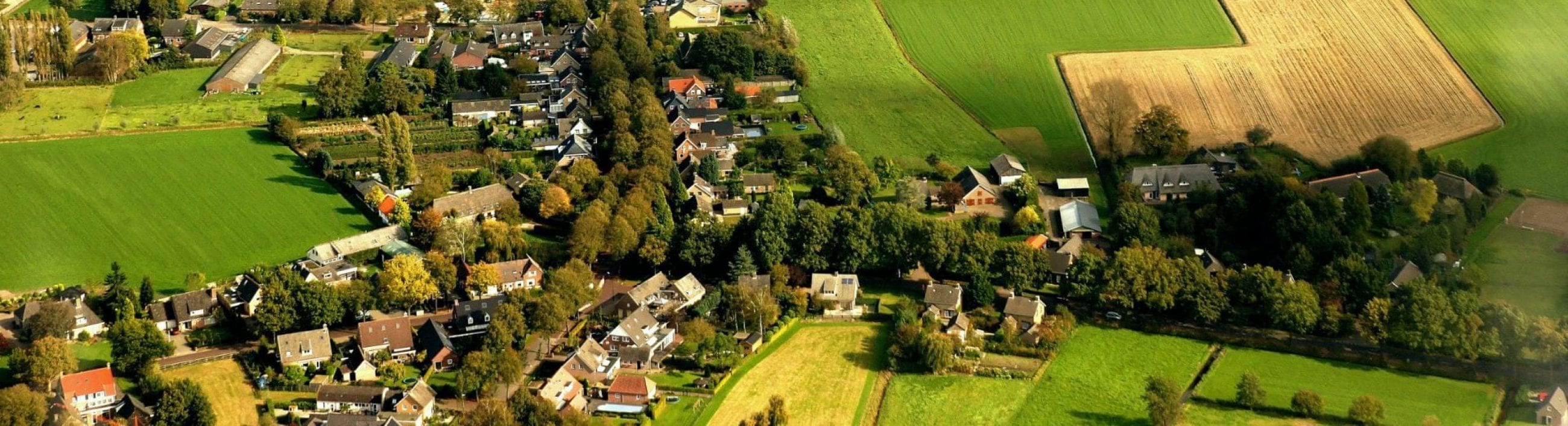
Gemonde is a settlement of c. 2,200 inhabitants located between Boxtel and Sint-Michielsgestel at the foot of a coversand ridge which flanks the river Dommel. The historic layout and buildings of Germonde are fairly well preserved and so too is the surrounding rural landscape. The village centre lies directly behind a large, elongated open field system on the edge of a more varied and finely divided area with fields, meadows and woodlands. This area is quite wet and is intersected by the Beekse Waterloop and numerous other water-carrying ditches. The southern part of the village area includes part of the marsh and carr forest area of De Geelders.
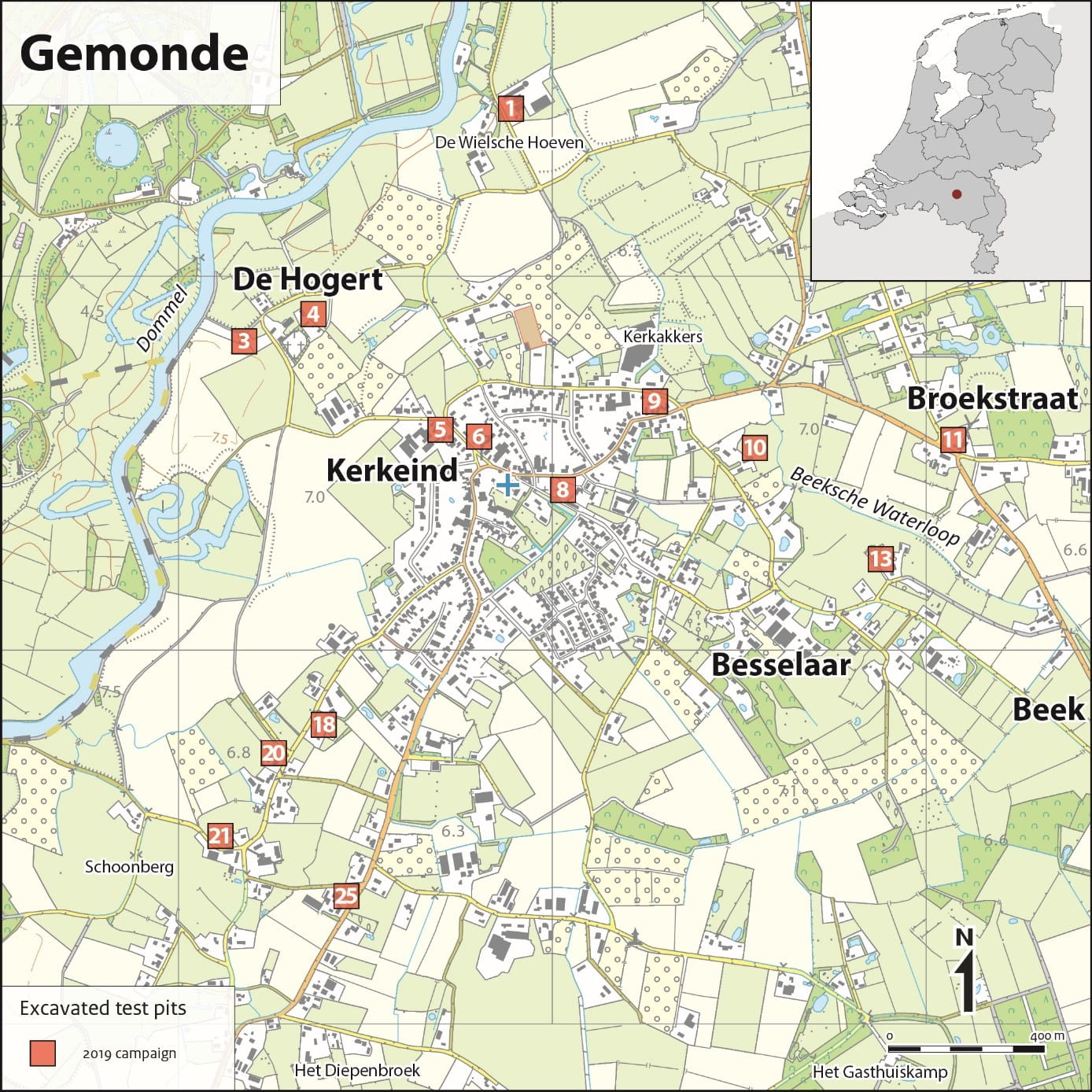 Gemonde today consists of extensive ribbon development along two roads at the base of the ridge and a small nucleus around the church, surrounded by a number of separate farms and the hamlets of Besselaar, Beek and De Wielse Hoeven. In recent years, the intermediate area has been infilled in with ribbon development. On the Hogert, the highest part of the coversand ridge and was the site of the medieval church and possibly of the settlement that preceded the present village, only a few modern farmhouses can be found.
The name Gemonde dates back to at least the seventh century (Coenen 2004, 14), a name that goes back to the Germanic gemuntha which means ‘river mouth’ or ‘confluence of two waters’ (Sprenger de Rover 1951). This translation corresponds with the topographical situation of the area where the Beekse Loop empties in the Dommel stream.
Archaeological evidence suggests the stream valley and coversand ridge were attractive for hunting and fishing area as early as the Mesolithic. As elsewhere along the Dommel valley, the first reclamations were undertaken on the higher parts of the coversand ridges. Finds from Gemonde indicate an agricultural settlement in the Iron Age followed in the Roman period by the construction of a villa, possibly abandoned in the later third century. In the seventh century the missionary Lambert established a chapel on the manorial estate of Gaimunda (Glazema 1954.). In AD 739 the estate passed to Echternach abbey and the chapel was made a church as Gemonde became a parish. The later medieval administrative arrangements are complex, placing the parish under the jurisdiction of four aldermen courts, divided between two bailiwick quarters: Peelland and Oisterwijk.
A number of the farms in the later village area are known by name from the fourteenth/fifteenth century. At this time the settlement of Gemonde took the form of an agglomeration of dispersed farms and hamlets rather than a nucleated settlement. This changed after the 1672 French invasion when the Catholic inhabitants of Gemonde gained the right to celebrate mass in a clandestine church in exchange for a fee. A barn church was built near the Twijnmeer estate at the base of coversand ridge and this Kerkeind (Church End) became a focal point for the subsequent development of the settlement, although it never became an administratively independent village. The division lasted until 1996, when Gemonde in its entirety became part of the municipality Sint-Michielsgestel.