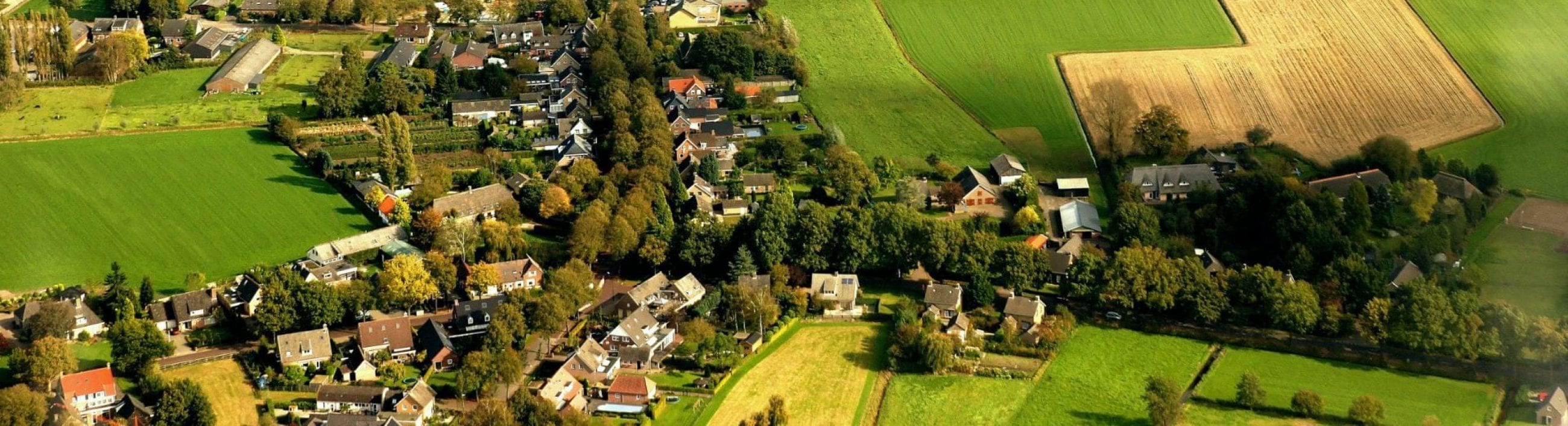
 Liempde is a village of approximately 4800 inhabitants situated on a coversand ridge in the stream valley of the Dommel. It is characterized by a well-preserved historic centre amidst an intact agricultural landscape and the village has many national and municipal monuments, distinctive buildings and protected townscapes, along with a close-knit community and numerous active social organisations and clubs.
 Liempde is recorded in 1309 as ‘Leymde’ (Coenen 2004, 37), with the prefix Liem- or Lim- generally explained as loam (the soil in the area is indeed very loamy). Previous finds show that the stream valley and the coversand ridge offered an attractive environment for hunting and fishing as early as the Mesolithic. With the transition to agriculture, arable fields were created on the higher parts of the ridge. Initially, these fields would be periodically relocated, but later they were cultivated more permanently. During the Roman period the area appears to have been abandoned again and in the following centuries the woodland gradually regenerated. Reclamation was not undertaken before the Early Middle Ages, when the relatively fertile soils on the higher parts of the ridge were again the first to be cultivated. These clearings formed the basis for the later arable fields and their associated farms.
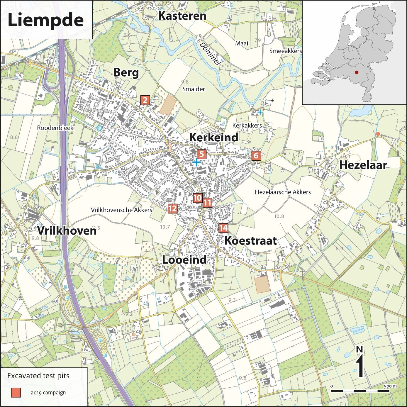 Liempde is an agglomeration of smaller settlement clusters which around the beginning of the Late Middle Ages (late thirteenth or fourteenth century) consisted of six separate hamlets (Den Berg, Kasteren, Hezelaar, Koestraat, Looeind and Vrilkhoven) which together formed the communitas Liempde (Heesters 1987, 39).
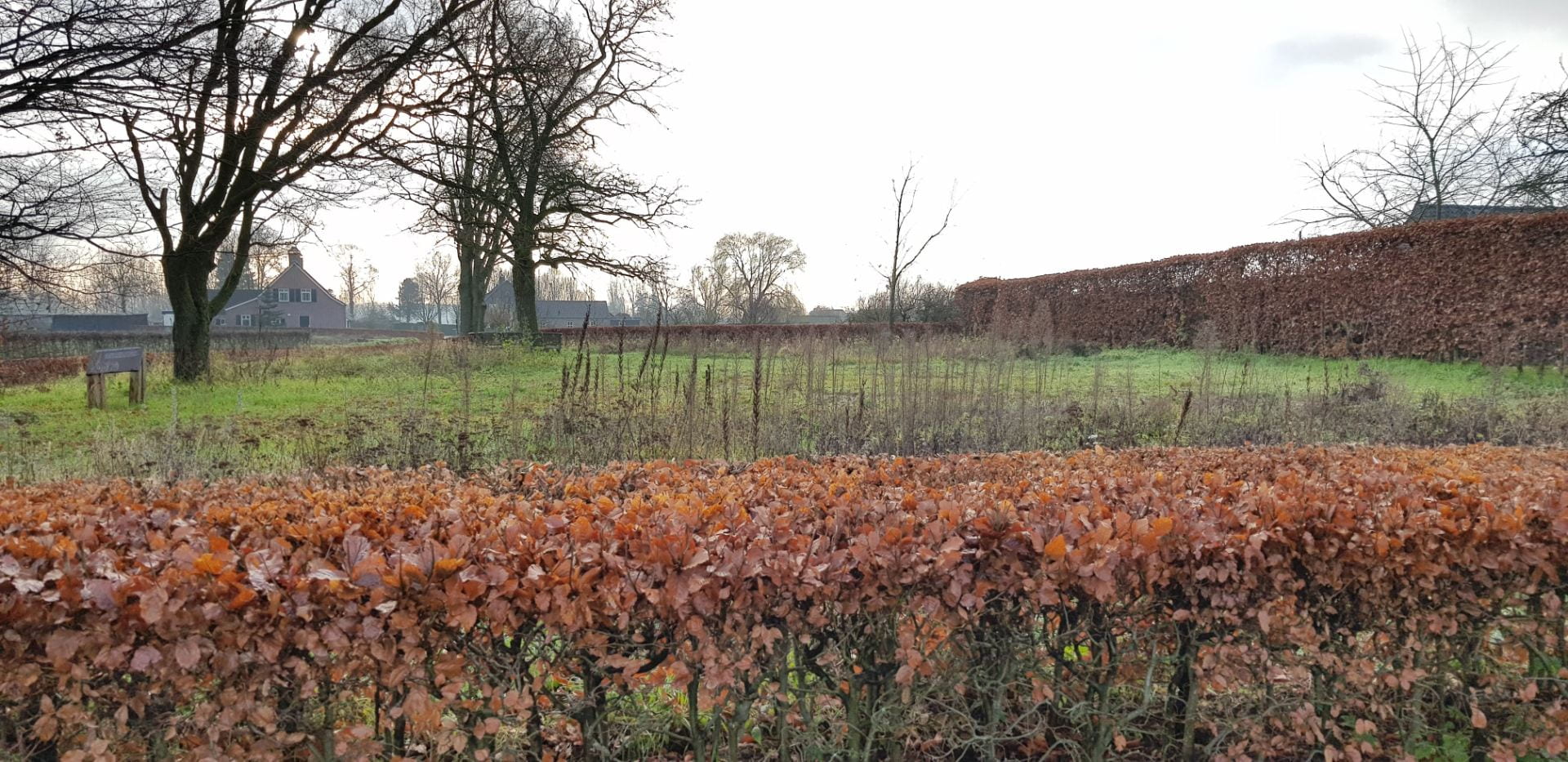
The historic village centre is a relatively recent development. The community had its own chapel dedicated to St. John the Baptist from the late fourteenth century (Coenen 2004, 38), located not on the site of the present church but closer to the Dommel stream at the edge of the Kerkakker (churchyard) field. This peripheral location may indicate an origin as a private chapel on a manorial estate. By 1603 it had developed into an independent parish with the chapel elevated to a church.
When in 1648 the territory was given to the Dutch Republic after the Peace of Münster, the church came into the hands of the Protestants, but as the village had few protestant residents, it fell in ruin. However, after the French invasion of 1672, the Catholic inhabitants of Liempde were given permission to celebrate mass in a clandestine ‘barn church’, leading to the development of the small Kerkeind (Church End) settlement cluster around the church.
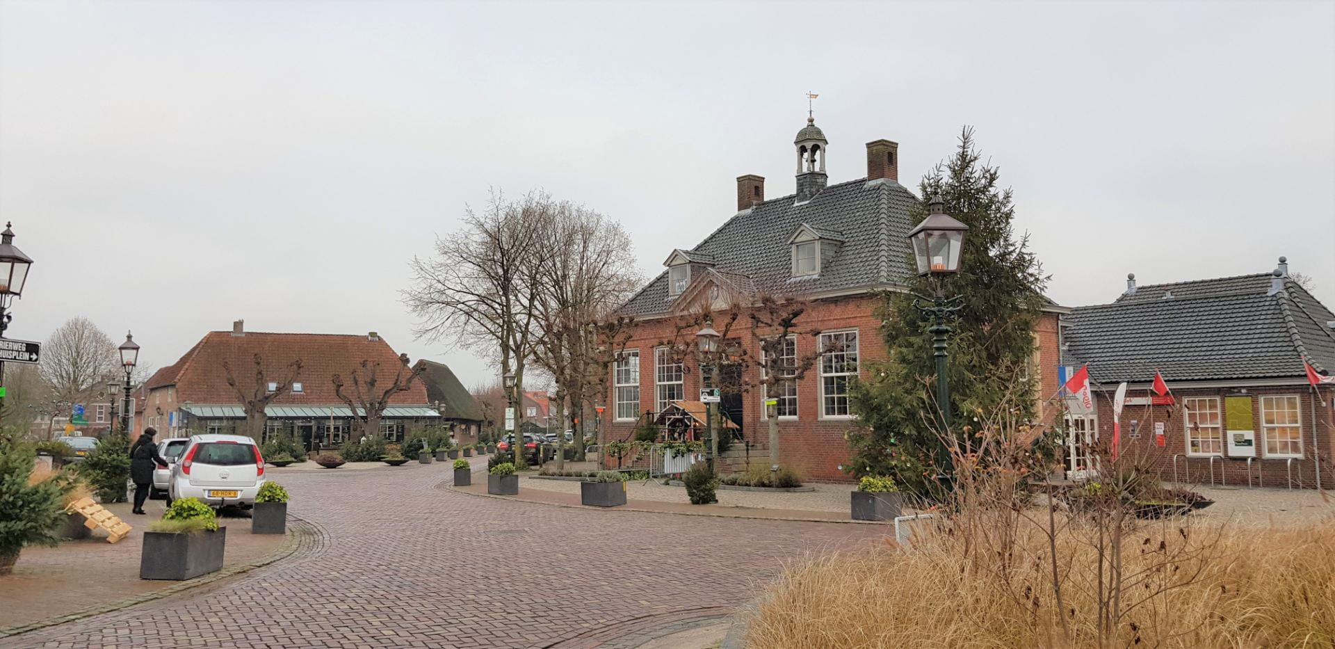
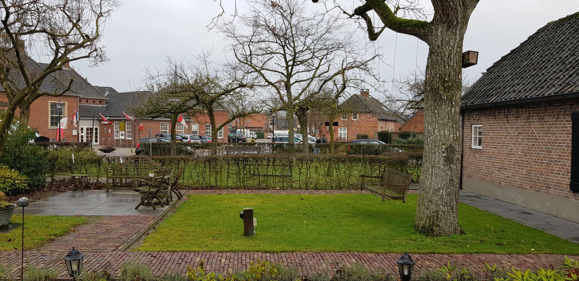
In 1787, a town hall built further south between the existing hamlets formed a second focal point for settlement development. Subsequent infilling of the area between Kerkeind the town hall developed into what is now the historic centre of Liempde.