 The former village of Woensel is hidden beneath a modern suburb, and a map of the place today makes it look an unpromising site for investigations focussed on medieval settlement. However, although little remains above ground today, in the Middle Ages Woensel was a prominent settlement, the centre of a deanery and a parish centre. The earliest documented reference dates to 1107 and in the Late Middle Ages the parish of Woensel included several villages, a seignory and the town of Eindhoven (with the latter only becoming an independent parish at the end of the fourteenth century (Arts & Hardy 2008, 16-17)). Woensel was an autonomous municipality until 1920 when it was absorbed by Eindhoven.
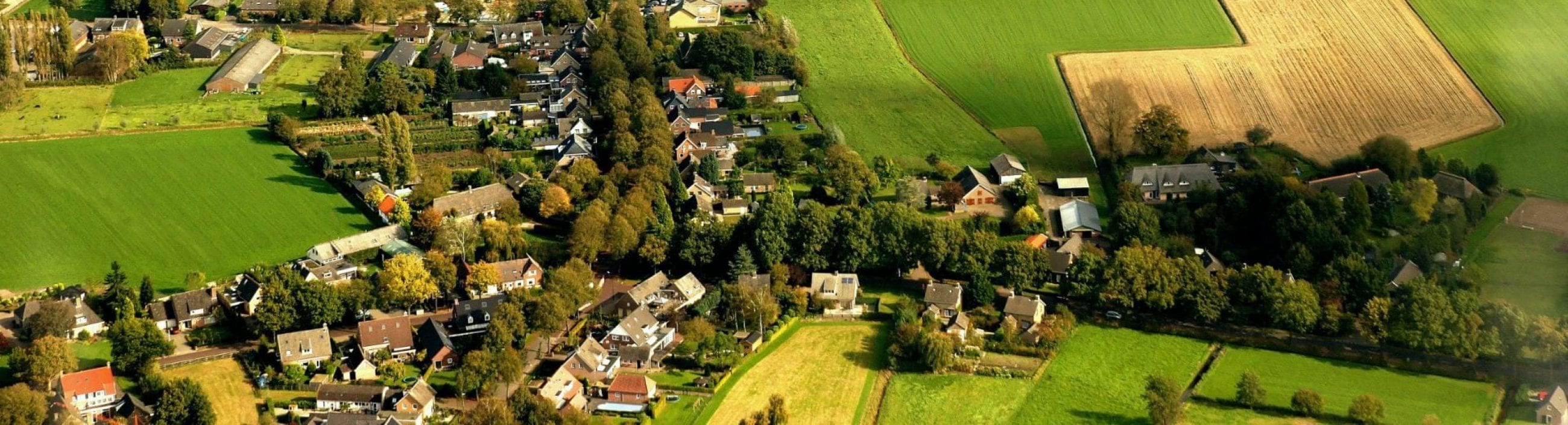
Woensel is situated on an elongated coversand ridge which flanks the valley of the river Dommel (Korthorst & Nollen 2008, 11-12). At the beginning of the twentieth century most of theridge was used as arable land, with extensive heathland to the west. The area between the two was characterised by alternating arable, meadow and woodland in which individual parcels of land were demarcated by wooded banks and hedges.
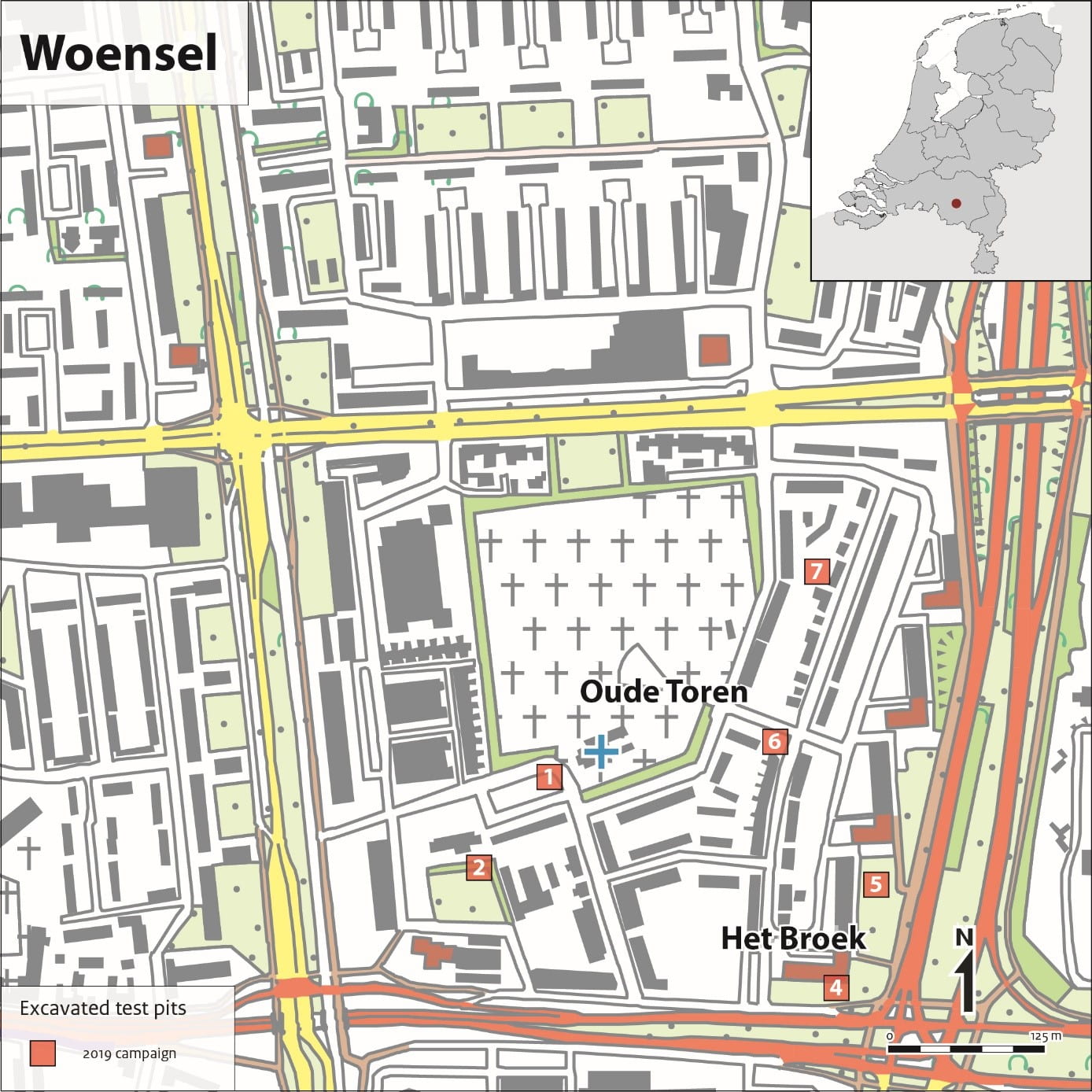
At the beginning of the twentieth century, habitation was mainly located along the main roads, which determined the linear layout of the settlement, with additional clusters of houses around the nineteenth century church of St. Peter and its predecessor, the Old Tower (Oude Toren).
The medial settlement at Woensel appears to have originated in the fifth to ninth century near the Oude Toren (Old Tower) (Arts & Hardy 2008, 15-16), with archaeological evidence dating back to the Carolingian period (late eighth to late ninth century AD) possibly even into the Merovingian period (mid-fifth to mid-eighth century AD). The hamlet of Het Broek probably developed as farms moved from the centre of the arable fields to their margins. This is a well-known process in this region that took place in the twelfth and thirteenth century, in which only the church and cemetery (being on consecrated ground) usually remained in place.
The settlement cluster around the current church of St. Peter only formed from the nineteenth century when the church was built here. In the urban expansion in the 1960s and 1970s, Woensel was incorporated in the suburb Woensel-Zuid and most of the old houses replaced by modern high-rise buildings. The CARE research in 2019 focuses on the area around the Oude Toren, in the district of the same name.
With the development of the suburb, the village community has also changed and it is unclear how many of the current resident still have ties to the historic village or even know about it. Woensel thus offers an interesting opportunity to study the relationship of a rapidly urbanized community with their heritage and see to what extent the older history still plays a role in their sense of place or whether it can add a new dimension to it.